Storm King Mountain Loop
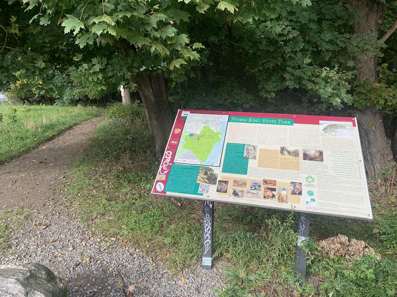
Storm King State Park Trail Map from NY ParksHiked: Otober 9th, 2021
Distance: 4.5 miles (according to iPhone health app)
Duration: 3 Hours
Flights Climbed: 83 (according to iPhone health app)
AllTrails Map: Storm King Mountain Loop
AllTrails Raiting: Moderate
We drove to the trail head from Queens which took just under 2 hours. We parked in the parking lot on 9W which has access to the Butter Hill and Bypass trail heads. The address to use to get directions here is 1750 Rte 9W Cornwall, NY 12520.
We started the hike from the Butter Hill (orange blaze) trail head at the west end of the parking area. This first section is a rocky climb and the most challenging portion of the hike. This connects with the yellow and blue blaze Stillman and Highlands trail which we followed until the start of the loop. At the split we went left on to the Bluebird trail which has blue and red blazes. This then runs back in to the Stillman and Highlands trail with yellow and blue blazes. We follow this trail to the right so we can do a loop. Stay on yellow and blue blazes until it meets back up with the orange blazes which you can take back to the parking lot.
Butter Hill Trail Head

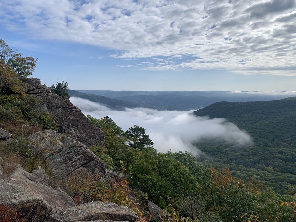
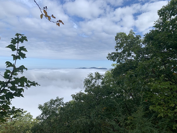
Views


